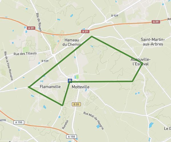
This running route covers 6.231mi starting from Bolbec, Seine-Maritime. The run does not return to the trailhead and ends near 39 Rue Du 11 Novembre 1918, 76210 Bolbec, France. This run is rated as moderate, expect about 1h10m to complete it. The route has an elevation gain of 410ft and an elevation loss of 371ft.
10 km Paul Bert
Route details
5.34mph
Speed
800 kcal
Calories burned
Point to point
Route type
75ft
Min altitude
226ft
Max altitude
Route profile
410ft
Elevation gain
371ft
Elevation loss
75ft
Min altitude
226ft
Max altitude
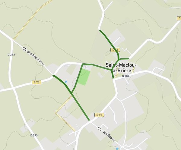
How to get there
Trailhead: 46 Rue Jacques Fauquet, 76210 Bolbec, France
GPS coordinates of the trailhead: 49.573483, 0.467076 / 49°34'24'' N, 0°28'1'' E