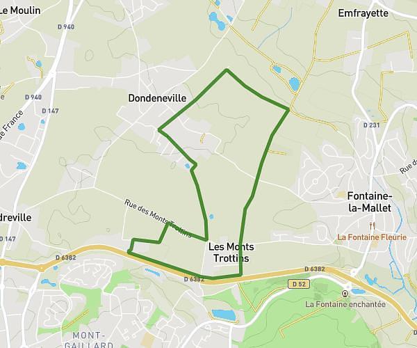
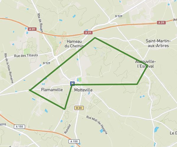
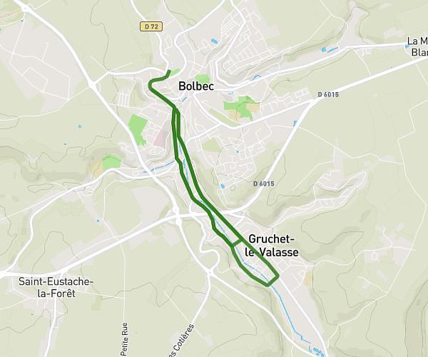
This running route covers 1.199mi starting from Gonfreville-Caillot, Seine-Maritime. The run does not return to the trailhead and ends near 40 Route De Fauville, 76110 Saint-Maclou-la-Brière, France. This run is rated as easy, expect about 13m to complete it. The route has an elevation gain of 10ft and an elevation loss of 30ft.
Reste à faire
Route details
5.54mph
Speed
149 kcal
Calories burned
Point to point
Route type
404ft
Min altitude
433ft
Max altitude
Route profile
10ft
Elevation gain
30ft
Elevation loss
404ft
Min altitude
433ft
Max altitude
How to get there
Trailhead: 20 Chemin De La Froidure, 76110 Gonfreville-Caillot, France
GPS coordinates of the trailhead: 49.651932, 0.46211 / 49°39'6'' N, 0°27'43'' E