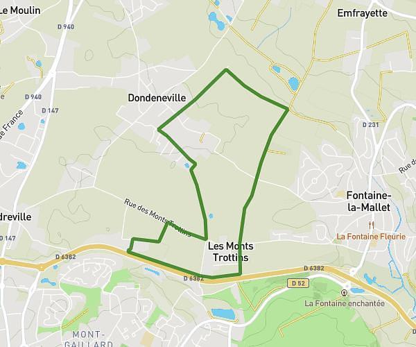
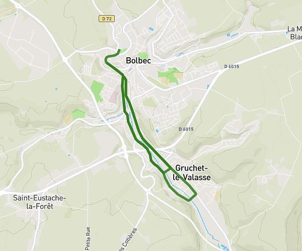
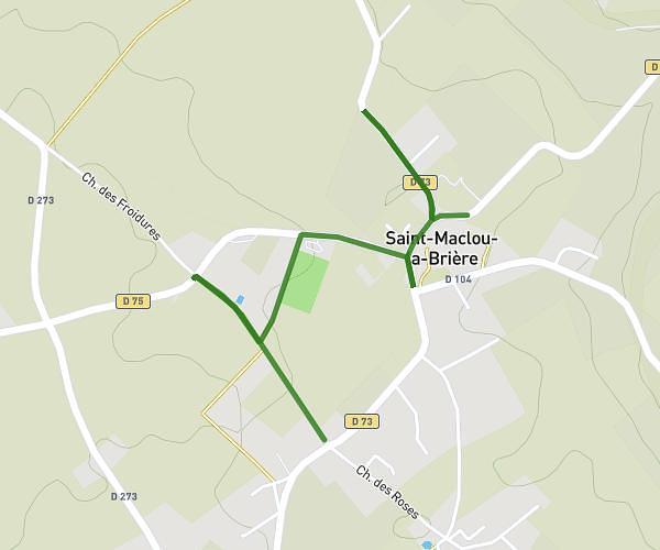
This running route covers 32.206mi starting from Étretat, Seine-Maritime. The run does not return to the trailhead and ends near 47 Rue Max Leclerc, 76460 Saint-Valery-en-Caux, France. This run is rated as strenuous, expect about 5h45m to complete it. The route has an elevation gain of 2090ft and an elevation loss of 2028ft.
ultra trail 50km
Route details
5.59mph
Speed
3951 kcal
Calories burned
Point to point
Route type
26ft
Min altitude
381ft
Max altitude
Route profile
2090ft
Elevation gain
2028ft
Elevation loss
26ft
Min altitude
381ft
Max altitude
How to get there
Trailhead: Terrasse Maurice Leblanc, 76790 Étretat, France
GPS coordinates of the trailhead: 49.708389, 0.202102 / 49°42'30'' N, 0°12'7'' E