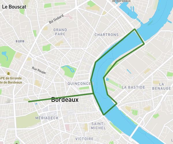
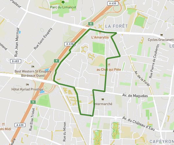
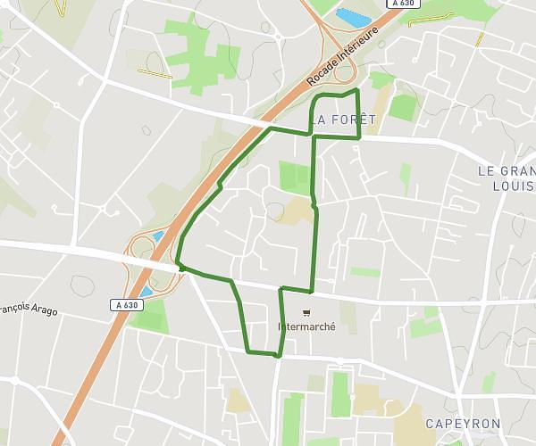
This running route covers 2.653mi starting from Cenon, Gironde. The run is a loop trail and returns to the trailhead. This run is rated as easy, expect about 27m to complete it. The route has an elevation gain of 180ft and an elevation loss of 187ft.
Marion
Route details
5.9mph
Speed
309 kcal
Calories burned
Loop trail
Route type
154ft
Min altitude
240ft
Max altitude
Route profile
180ft
Elevation gain
187ft
Elevation loss
154ft
Min altitude
240ft
Max altitude
How to get there
Trailhead: 1 Rue Saint-Exupéry, 33150 Cenon, France
GPS coordinates of the trailhead: 44.84844, -0.51837 / 44°50'54'' N, 0°31'6'' W