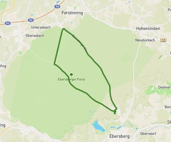
This running route covers 5.778mi starting from Tuntenhausen, Bavaria. The run is a loop trail and returns to the trailhead. This run is rated as moderate, expect about 1h1m to complete it. The route has an elevation gain of 528ft and an elevation loss of 528ft.
Söhler
Route details
5.59mph
Speed
709 kcal
Calories burned
Loop trail
Route type
1617ft
Min altitude
1801ft
Max altitude
Route profile
528ft
Elevation gain
528ft
Elevation loss
1617ft
Min altitude
1801ft
Max altitude
How to get there
Trailhead: Eichenstraße 14, 83104 Tuntenhausen, Germany
GPS coordinates of the trailhead: 47.951218, 11.966245 / 47°57'4'' N, 11°57'58'' E