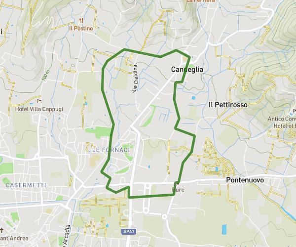
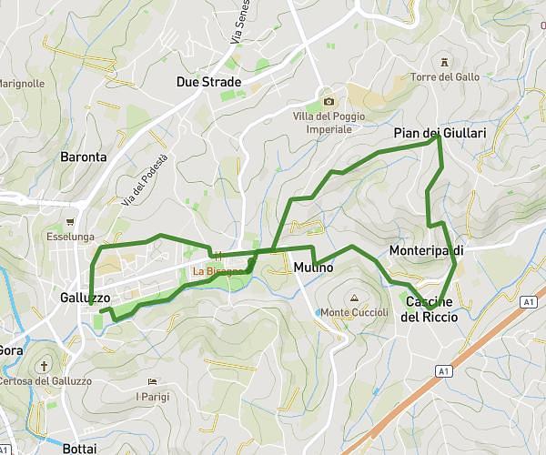
This running route covers 6.642mi starting from Firenze, Florence. The run is a loop trail and returns to the trailhead. This run is rated as moderate, expect about 45m to complete it. The route has an elevation gain of 748ft and an elevation loss of 748ft.
3 Ville 2023
Route details
8.85mph
Speed
515 kcal
Calories burned
Loop trail
Route type
194ft
Min altitude
636ft
Max altitude
Route profile
748ft
Elevation gain
748ft
Elevation loss
194ft
Min altitude
636ft
Max altitude
How to get there
Trailhead: Via Reginaldo Giuliani 522, 50141 Firenze Florence, Italy
GPS coordinates of the trailhead: 43.81797, 11.22655 / 43°49'4'' N, 11°13'35'' E