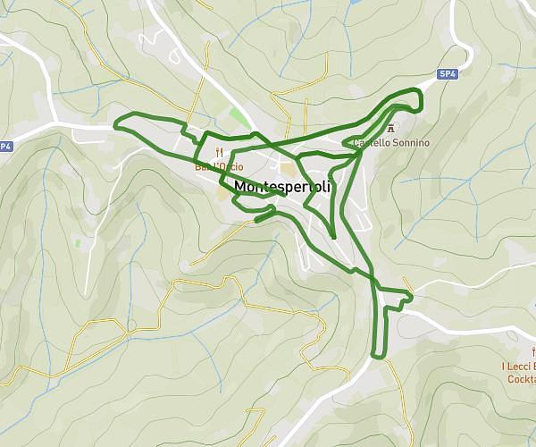
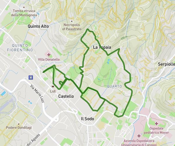
This running route covers 5.334mi starting from Firenze, Florence. The run is a loop trail and returns to the trailhead. This run is rated as moderate, expect about 57m to complete it. The route has an elevation gain of 394ft and an elevation loss of 289ft.
S. Matteo in Arcetri-Monteripaldi-Via Barni
Route details
5.62mph
Speed
652 kcal
Calories burned
Loop trail
Route type
102ft
Min altitude
495ft
Max altitude
Route profile
394ft
Elevation gain
289ft
Elevation loss
102ft
Min altitude
495ft
Max altitude
How to get there
Trailhead: Viale Dei Tanini 42, 50125 Firenze Florence, Italy
GPS coordinates of the trailhead: 43.73519, 11.22678 / 43°44'6'' N, 11°13'36'' E