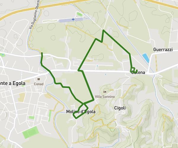
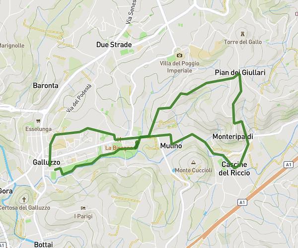
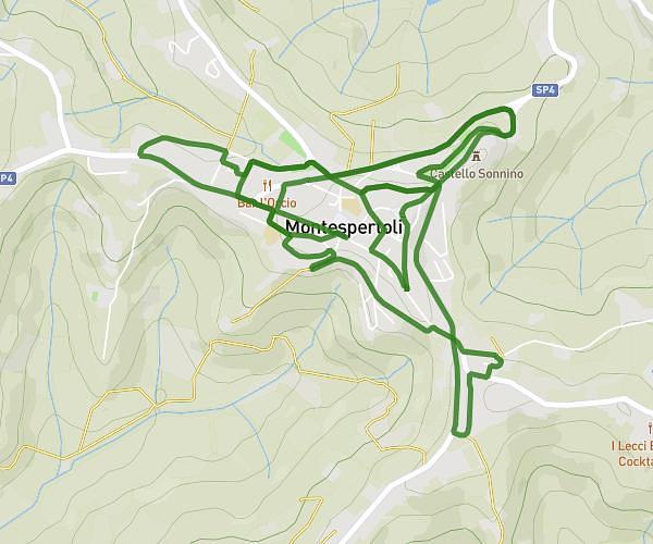
This running route covers 8.189mi starting from Certaldo, Florence. The run is a loop trail and returns to the trailhead. This run is rated as hard, expect about 1h to complete it. The route has an elevation gain of 1047ft and an elevation loss of 1047ft.
Decamerun 2023
Route details
8.19mph
Speed
686 kcal
Calories burned
Loop trail
Route type
223ft
Min altitude
427ft
Max altitude
Route profile
1047ft
Elevation gain
1047ft
Elevation loss
223ft
Min altitude
427ft
Max altitude
How to get there
Trailhead: Via Trieste 12, 50052 Certaldo Florence, Italy
GPS coordinates of the trailhead: 43.54614, 11.042 / 43°32'46'' N, 11°2'31'' E