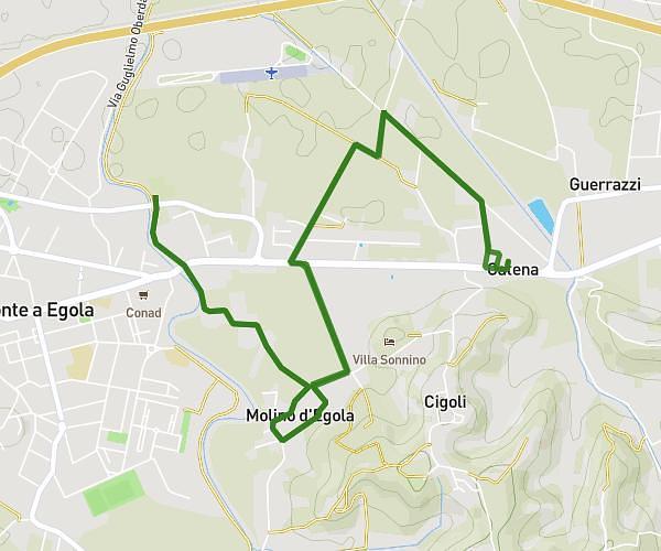
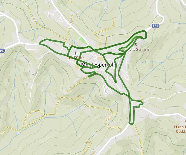
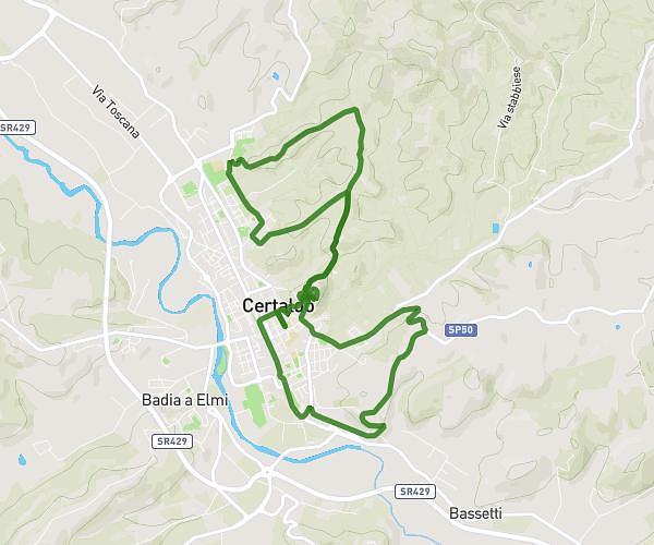
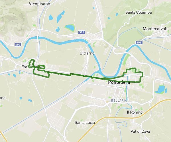
This running route covers 7.6mi starting from Palaia, Pisa. The run does not return to the trailhead and ends near Piazza Nilde Iotti 2, 56036 Palaia Pisa, Italy. This run is rated as hard, expect about 1h22m to complete it. The route has an elevation gain of 633ft and an elevation loss of 1175ft.
PALAIA - FORCOLI
Route details
5.56mph
Speed
938 kcal
Calories burned
Point to point
Route type
125ft
Min altitude
705ft
Max altitude
Route profile
633ft
Elevation gain
1175ft
Elevation loss
125ft
Min altitude
705ft
Max altitude
How to get there
Trailhead: Via Della Pieve 20, 56036 Palaia Pisa, Italy
GPS coordinates of the trailhead: 43.606533, 10.774306 / 43°36'23'' N, 10°46'27'' E