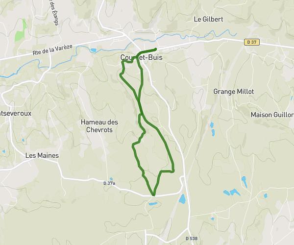
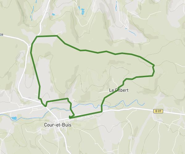
This running route covers 5.76mi starting from Andance, Ardèche. The run does not return to the trailhead and ends near Avenue Du Vivarais, 07370 Sarras, France. This run is rated as moderate, expect about 1h2m to complete it. The route has an elevation gain of 7ft and an elevation loss of 20ft.
Gael
Route details
5.57mph
Speed
709 kcal
Calories burned
Point to point
Route type
420ft
Min altitude
436ft
Max altitude
Route profile
7ft
Elevation gain
20ft
Elevation loss
420ft
Min altitude
436ft
Max altitude
How to get there
Trailhead: D 86b, 07340 Andance, France
GPS coordinates of the trailhead: 45.24237, 4.80011 / 45°14'32'' N, 4°48'0'' E