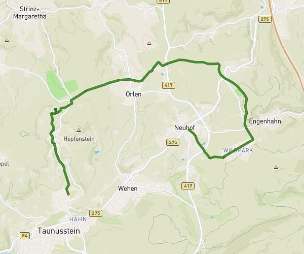
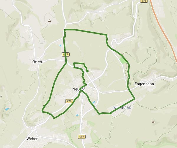
This running route covers 4.471mi starting from Eltville am Rhein, Hesse. The run is a loop trail and returns to the trailhead. This run is rated as easy, expect about 47m58s to complete it. The route has an elevation gain of 397ft and an elevation loss of 407ft.
Über Sonnenberg und runter
Route details
5.59mph
Speed
548 kcal
Calories burned
Loop trail
Route type
299ft
Min altitude
568ft
Max altitude
Route profile
397ft
Elevation gain
407ft
Elevation loss
299ft
Min altitude
568ft
Max altitude
How to get there
Trailhead: Friedrichstraße 67, 65343 Eltville am Rhein, Germany
GPS coordinates of the trailhead: 50.031638, 8.12875 / 50°1'53'' N, 8°7'43'' E