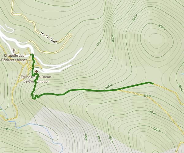
This hiking trail covers 5.136mi starting from Malaussène, Alpes-Maritimes. The hike is a loop trail and returns to the trailhead. This hike is rated as moderate, plan for about 2h20m to complete it. The route has an elevation gain of 1165ft and an elevation loss of 1165ft.
Le long de l'Adous
Route details
2.2mph
Speed
1050 kcal
Calories burned
8.6%
Avg grade
Loop trail
Route type
1181ft
Min altitude
1293ft
Max altitude
Steep climb
Route profile
1165ft
Elevation gain
1165ft
Elevation loss
1181ft
Min altitude
1293ft
Max altitude
How to get there
Trailhead: 1 Place Du Centenaire, 06710 Malaussène, France
GPS coordinates of the trailhead: 43.927284, 7.130899 / 43°55'38'' N, 7°7'51'' E