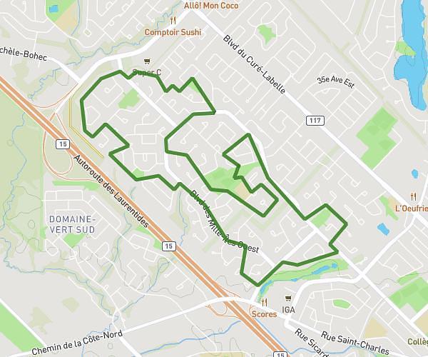
This running route covers 2.502mi starting from Laval, Quebec. The run is a loop trail and returns to the trailhead. This run is rated as easy, expect about 24m to complete it. The route has an elevation gain of 131ft and an elevation loss of 115ft.
Defi 4KM
Route details
6.26mph
Speed
274 kcal
Calories burned
Loop trail
Route type
108ft
Min altitude
138ft
Max altitude
Route profile
131ft
Elevation gain
115ft
Elevation loss
108ft
Min altitude
138ft
Max altitude
How to get there
Trailhead: 341 Rue Éveline, Laval, Quebec H7P 2V4, Canada
GPS coordinates of the trailhead: 45.57496, -73.79131 / 45°34'29'' N, 73°47'28'' W