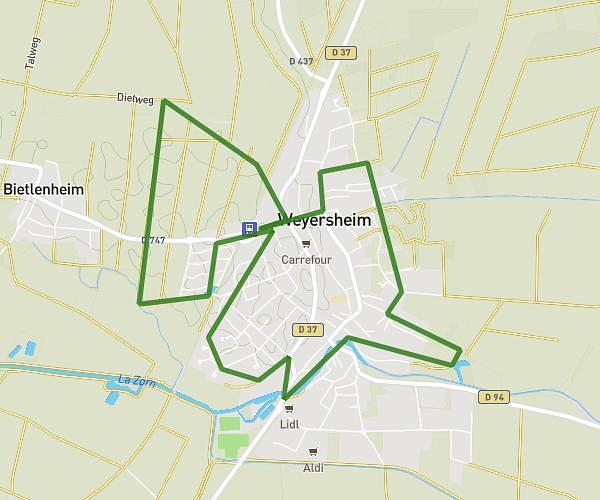
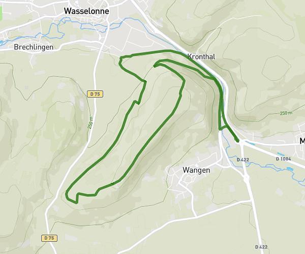
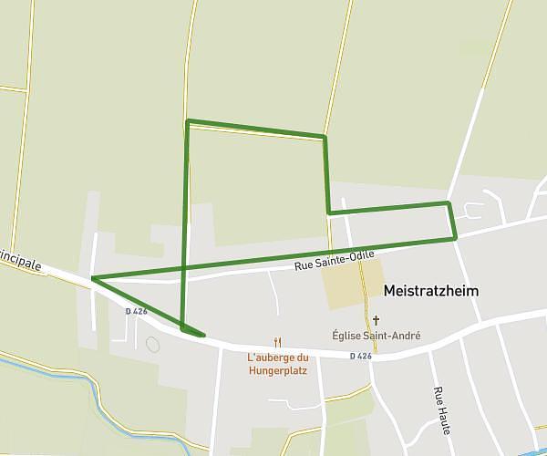
This running route covers 15.745mi starting from Strasbourg, Bas-Rhin. The run is a loop trail and returns to the trailhead. This run is rated as strenuous, expect about 5h13m to complete it. The route has an elevation gain of 3ft and an elevation loss of 0ft.
25 ans CAMI
Route details
3.02mph
Speed
3579 kcal
Calories burned
Loop trail
Route type
459ft
Min altitude
463ft
Max altitude
Route profile
3ft
Elevation gain
0ft
Elevation loss
459ft
Min altitude
463ft
Max altitude
How to get there
Trailhead: 161 Rue Mélanie, 67000 Strasbourg, France
GPS coordinates of the trailhead: 48.60767, 7.79968 / 48°36'27'' N, 7°47'58'' E