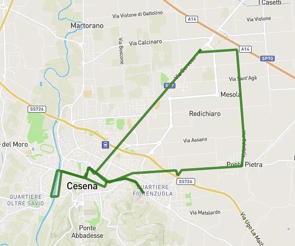
This running route covers 6.457mi starting from Bellaria-Igea Marina, Rimini. The run does not return to the trailhead and ends near Via Publio Virgilio Marone 68, 47814 Bellaria-Igea Marina Rimini, Italy. This run is rated as moderate, expect about 50m to complete it. The route has an elevation gain of 203ft and an elevation loss of 200ft.
Parco Gelso
Route details
7.75mph
Speed
572 kcal
Calories burned
Point to point
Route type
-13ft
Min altitude
16ft
Max altitude
Route profile
203ft
Elevation gain
200ft
Elevation loss
-13ft
Min altitude
16ft
Max altitude
How to get there
Trailhead: Via Publio Virgilio Marone 73, 47814 Bellaria-Igea Marina Rimini, Italy
GPS coordinates of the trailhead: 44.13078, 12.48356 / 44°7'50'' N, 12°29'0'' E