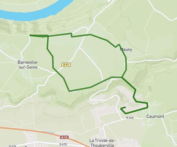
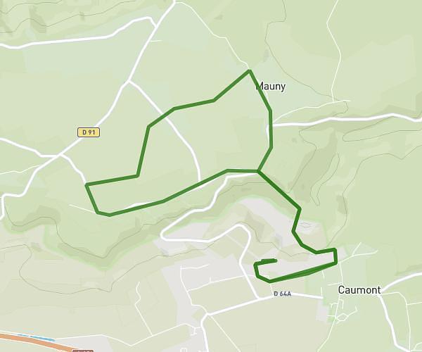
This running route covers 3.455mi starting from Anneville-Ambourville, Seine-Maritime. The run is a loop trail and returns to the trailhead. This run is rated as easy, expect about 41m42s to complete it. The route has an elevation gain of 112ft and an elevation loss of 108ft.
Début
Route details
4.97mph
Speed
477 kcal
Calories burned
Loop trail
Route type
7ft
Min altitude
102ft
Max altitude
Route profile
112ft
Elevation gain
108ft
Elevation loss
7ft
Min altitude
102ft
Max altitude
How to get there
Trailhead: Rue De La Forge, 76480 Anneville-Ambourville
GPS coordinates of the trailhead: 49.46105, 0.88819 / 49°27'39'' N, 0°53'17'' E