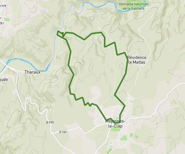
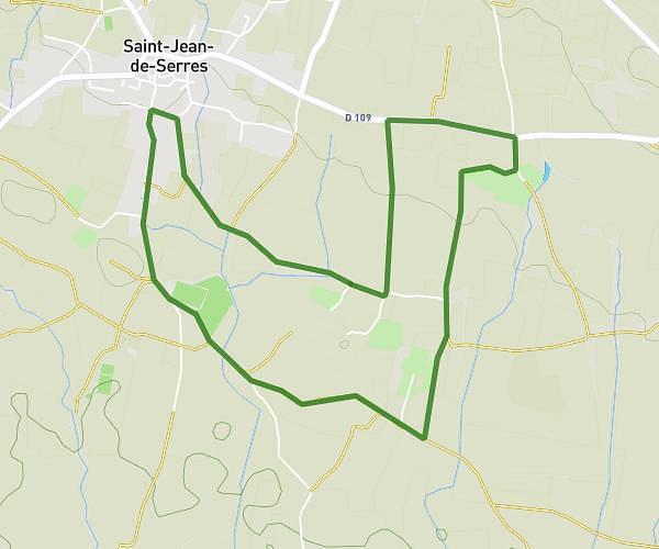
This running route covers 3.905mi starting from Saint-Julien-les-Rosiers, Gard. The run is a loop trail and returns to the trailhead. This run is rated as easy, expect about 42m to complete it. The route has an elevation gain of 371ft and an elevation loss of 371ft.
Boucle sur route Saint Julien
Route details
5.58mph
Speed
480 kcal
Calories burned
Loop trail
Route type
564ft
Min altitude
935ft
Max altitude
Route profile
371ft
Elevation gain
371ft
Elevation loss
564ft
Min altitude
935ft
Max altitude
How to get there
Trailhead: 675 Chemin De Saint-Julien, 30340 Saint-Julien-les-Rosiers, France
GPS coordinates of the trailhead: 44.17536, 4.0957 / 44°10'31'' N, 4°5'44'' E