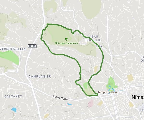
This running route covers 3.148mi starting from Saint-Jean-de-Serres, Gard. The run is a loop trail and returns to the trailhead. This run is rated as easy, expect about 32m to complete it. The route has an elevation gain of 59ft and an elevation loss of 36ft.
PARCOURS MAS DE PUECH
Route details
5.9mph
Speed
366 kcal
Calories burned
Loop trail
Route type
358ft
Min altitude
400ft
Max altitude
Route profile
59ft
Elevation gain
36ft
Elevation loss
358ft
Min altitude
400ft
Max altitude
How to get there
Trailhead: Voie Communale Du Mas De Puech, 30350 Saint-Jean-de-Serres
GPS coordinates of the trailhead: 43.9869, 4.07775 / 43°59'12'' N, 4°4'39'' E