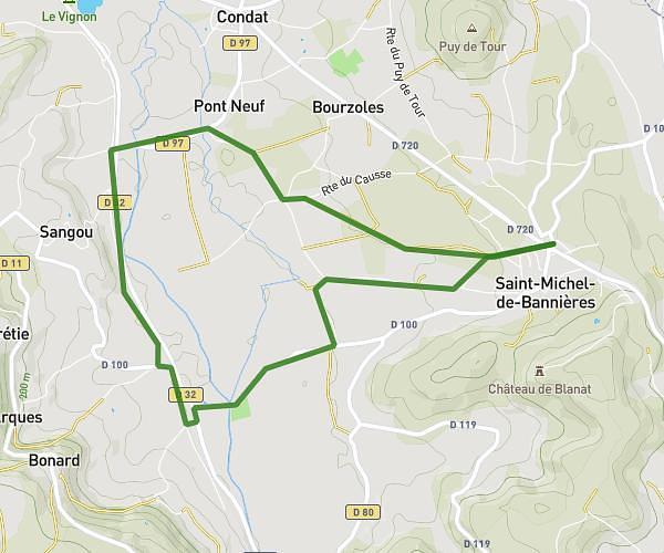
This walking route covers 2.599mi starting from Saillac, Corrèze. The walk is a loop trail and returns to the trailhead. This walk is rated as easy, plan for about 56m to complete it. The route has an elevation gain of 381ft and an elevation loss of 384ft.
Collonges la rouge
Route details
21:33/mi
Pace
229 kcal
Calories burned
Loop trail
Route type
564ft
Min altitude
751ft
Max altitude
Route profile
381ft
Elevation gain
384ft
Elevation loss
564ft
Min altitude
751ft
Max altitude
How to get there
Trailhead: 1687 Route De La Bertine Haute, 19500 Saillac, France
GPS coordinates of the trailhead: 45.045692, 1.650262 / 45°2'44'' N, 1°39'0'' E