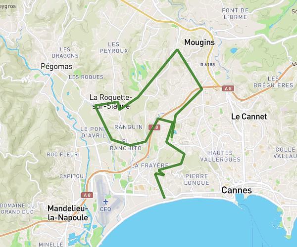
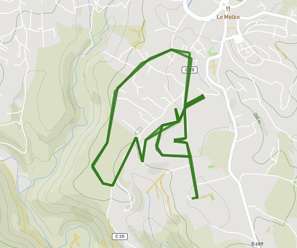
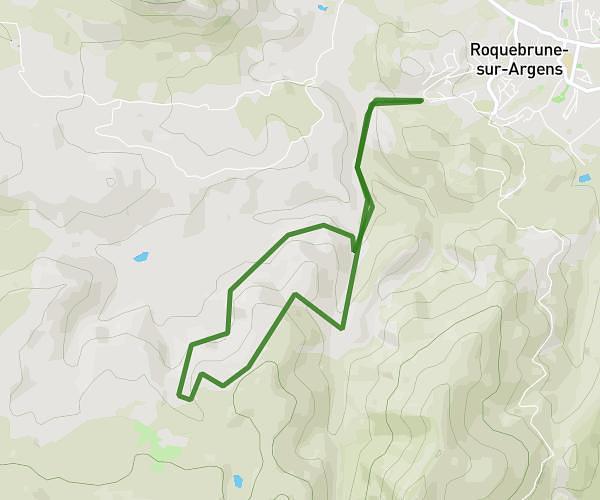
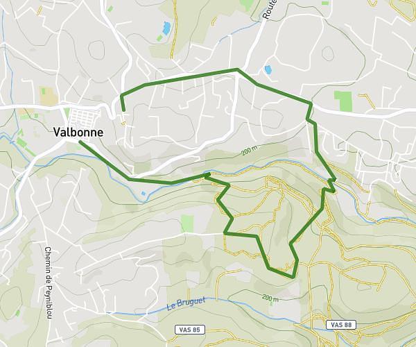
This running route covers 12.493mi starting from Théoule-sur-Mer, Alpes-Maritimes. The run is a loop trail and returns to the trailhead. This run is rated as strenuous, expect about 2h14m to complete it. The route has an elevation gain of 984ft and an elevation loss of 1194ft.
20km Esterel
Route details
5.59mph
Speed
1532 kcal
Calories burned
Loop trail
Route type
285ft
Min altitude
1188ft
Max altitude
Route profile
984ft
Elevation gain
1194ft
Elevation loss
285ft
Min altitude
1188ft
Max altitude
How to get there
Trailhead: Piste Des Mineurs, 06590 Théoule-sur-Mer
GPS coordinates of the trailhead: 43.51284, 6.91506 / 43°30'46'' N, 6°54'54'' E