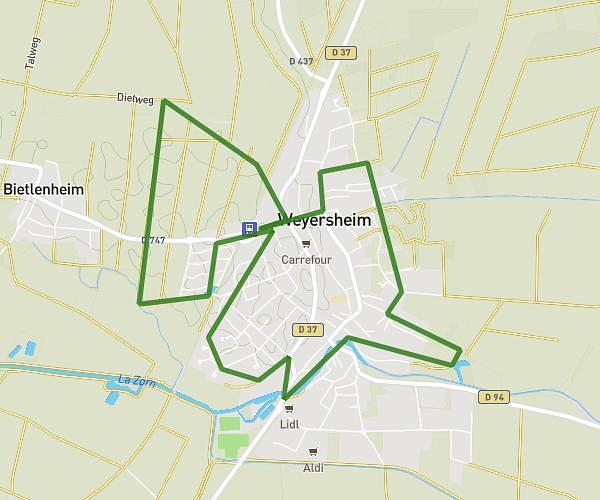
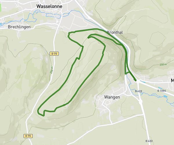
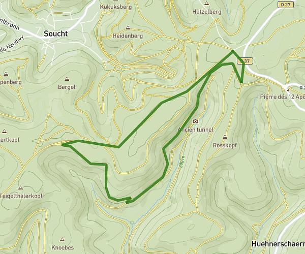
This running route covers 3.239mi starting from Ohlungen, Bas-Rhin. The run is a loop trail and returns to the trailhead. This run is rated as easy, expect about 31m to complete it. The route has an elevation gain of 164ft and an elevation loss of 161ft.
OHLUNGEOISE
Route details
6.27mph
Speed
354 kcal
Calories burned
Loop trail
Route type
528ft
Min altitude
630ft
Max altitude
Route profile
164ft
Elevation gain
161ft
Elevation loss
528ft
Min altitude
630ft
Max altitude
How to get there
Trailhead: 22 Rue Du Moulin, 67590 Ohlungen, France
GPS coordinates of the trailhead: 48.81599, 7.70449 / 48°48'57'' N, 7°42'16'' E