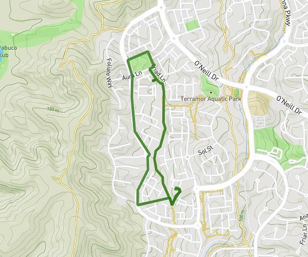
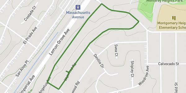
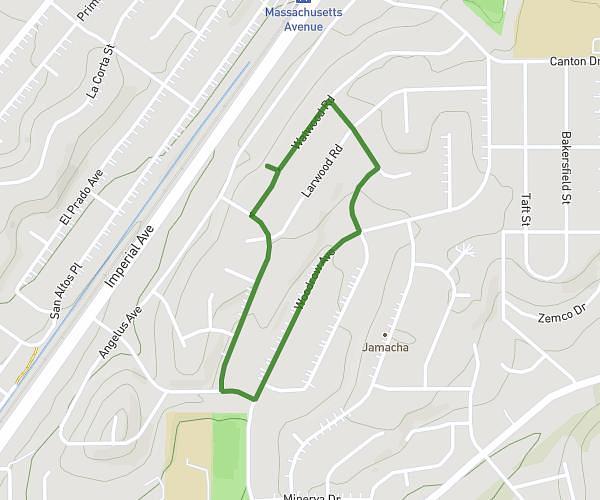
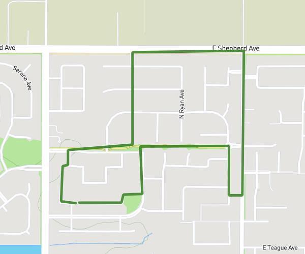
This walking route covers 2.141mi starting from Santa Rosa, California. The walk is a loop trail and returns to the trailhead. This walk is rated as easy, plan for about 46m to complete it. The route has an elevation gain of 75ft and an elevation loss of 75ft.
2.14
Route details
21:30/mi
Pace
188 kcal
Calories burned
Loop trail
Route type
128ft
Min altitude
148ft
Max altitude
Route profile
75ft
Elevation gain
75ft
Elevation loss
128ft
Min altitude
148ft
Max altitude
How to get there
Trailhead: 3606 Sumatra Drive, Santa Rosa, California 95403, United States
GPS coordinates of the trailhead: 38.478607, -122.750775 / 38°28'42'' N, 122°45'2'' W