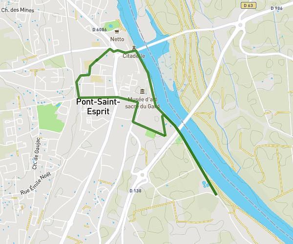
This running route covers 6.524mi starting from Laudun-l'Ardoise, Gard. The run is a loop trail and returns to the trailhead. This run is rated as moderate, expect about 1h18m to complete it. The route has an elevation gain of 23ft and an elevation loss of 102ft.
Long 2
Route details
4.97mph
Speed
900 kcal
Calories burned
Loop trail
Route type
184ft
Min altitude
285ft
Max altitude
Route profile
23ft
Elevation gain
102ft
Elevation loss
184ft
Min altitude
285ft
Max altitude
How to get there
Trailhead: 155 Rue Émile Pouytes, 30290 Laudun-l'Ardoise, France
GPS coordinates of the trailhead: 44.10343, 4.64723 / 44°6'12'' N, 4°38'50'' E