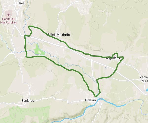
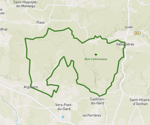
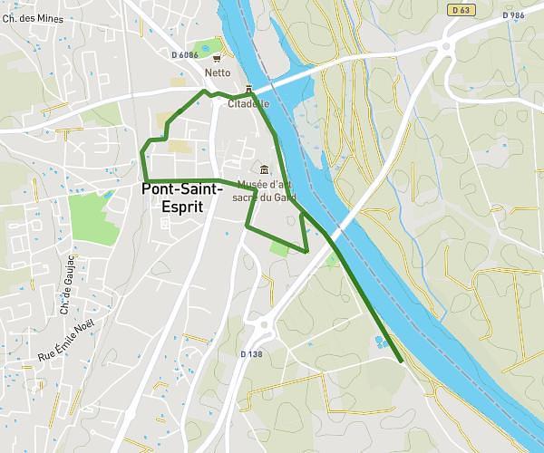
This running route covers 4.158mi starting from Laudun-l'Ardoise, Gard. The run is a loop trail and returns to the trailhead. This run is rated as easy, expect about 57m21s to complete it. The route has an elevation gain of 604ft and an elevation loss of 643ft.
Pechu 6.7km
Route details
4.35mph
Speed
656 kcal
Calories burned
Loop trail
Route type
200ft
Min altitude
640ft
Max altitude
Route profile
604ft
Elevation gain
643ft
Elevation loss
200ft
Min altitude
640ft
Max altitude
How to get there
Trailhead: 155 Rue Émile Pouytes, 30290 Laudun-l'Ardoise, France
GPS coordinates of the trailhead: 44.10344, 4.6472 / 44°6'12'' N, 4°38'49'' E