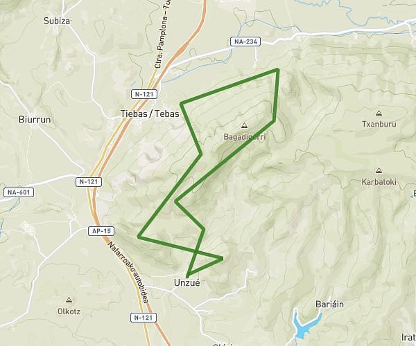
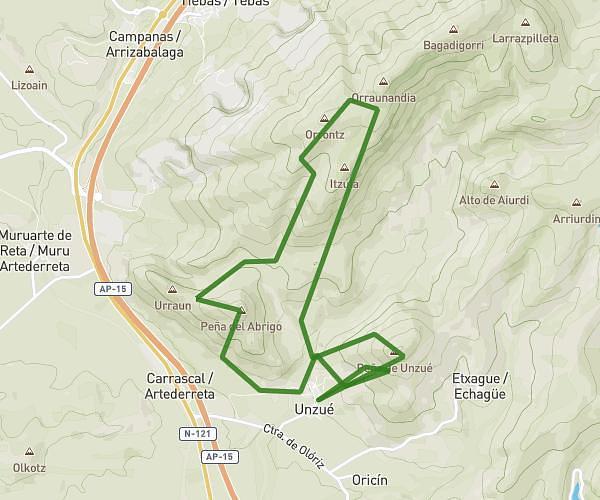
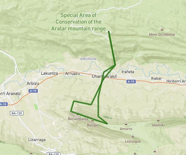
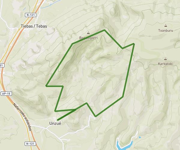
This running route covers 6.373mi starting from Zizur Mayor, Navarre. The run is a loop trail and returns to the trailhead. This run is rated as moderate, expect about 48m48s to complete it. The route has an elevation gain of 82ft and an elevation loss of 16ft.
mys10
Route details
7.84mph
Speed
558 kcal
Calories burned
Loop trail
Route type
1493ft
Min altitude
1558ft
Max altitude
Route profile
82ft
Elevation gain
16ft
Elevation loss
1493ft
Min altitude
1558ft
Max altitude
How to get there
Trailhead: Calle Zubiondoa 13, 31180 Zizur Mayor, Navarre, Spain
GPS coordinates of the trailhead: 42.79562, -1.70163 / 42°47'44'' N, 1°42'5'' W