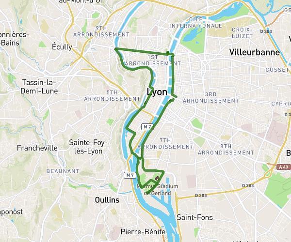
This cycling route covers 23.932mi starting from Lyon, Rhône. The ride is a loop trail and returns to the trailhead. This route is rated as hard, plan for about 2h24m to complete it. The route has an elevation gain of 1388ft and an elevation loss of 1388ft.
Mont Verdun; Py; Thou
Route details
1278 kcal
Calories burned
2.2%
Avg grade
Loop trail
Route type
551ft
Min altitude
1818ft
Max altitude
Route profile
1388ft
Elevation gain
1388ft
Elevation loss
551ft
Min altitude
1818ft
Max altitude
How to get there
Trailhead: 6 Cours Bayard, 69002 Lyon, France
GPS coordinates of the trailhead: 45.74446, 4.81985 / 45°44'40'' N, 4°49'11'' E