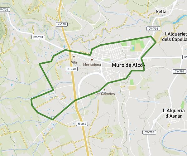
This running route covers 14.923mi starting from Alcoy, Alicante. The run is a loop trail and returns to the trailhead. This run is rated as hard, expect about 3h30m to complete it. The route has an elevation gain of 3852ft and an elevation loss of 3845ft.
Urbanització de Serelles-Ermita de San Cristofol-Collao Sabata-Montcabrer
Route details
4.26mph
Speed
2401 kcal
Calories burned
Loop trail
Route type
1854ft
Min altitude
4478ft
Max altitude
Route profile
3852ft
Elevation gain
3845ft
Elevation loss
1854ft
Min altitude
4478ft
Max altitude
How to get there
Trailhead: Carrer Cavall Bernat 3, 03804 Alcoy, Alicante, Spain
GPS coordinates of the trailhead: 38.71003, -0.48424 / 38°42'36'' N, 0°29'3'' W