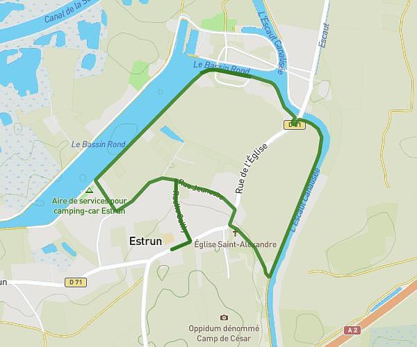
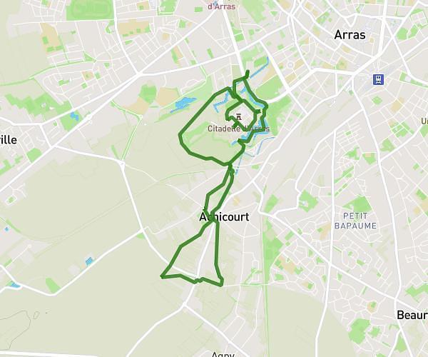
This walking route covers 3.209mi starting from Leforest, Pas-de-Calais. The walk is a loop trail and returns to the trailhead. This walk is rated as moderate, plan for about 57m to complete it. The route has an elevation gain of 62ft and an elevation loss of 62ft.
Rue d’Evin
Route details
17:45/mi
Pace
233 kcal
Calories burned
Loop trail
Route type
72ft
Min altitude
89ft
Max altitude
Route profile
62ft
Elevation gain
62ft
Elevation loss
72ft
Min altitude
89ft
Max altitude
How to get there
Trailhead: Rue Casimir Beugnet, 62790 Leforest
GPS coordinates of the trailhead: 50.43987, 3.05317 / 50°26'23'' N, 3°3'11'' E