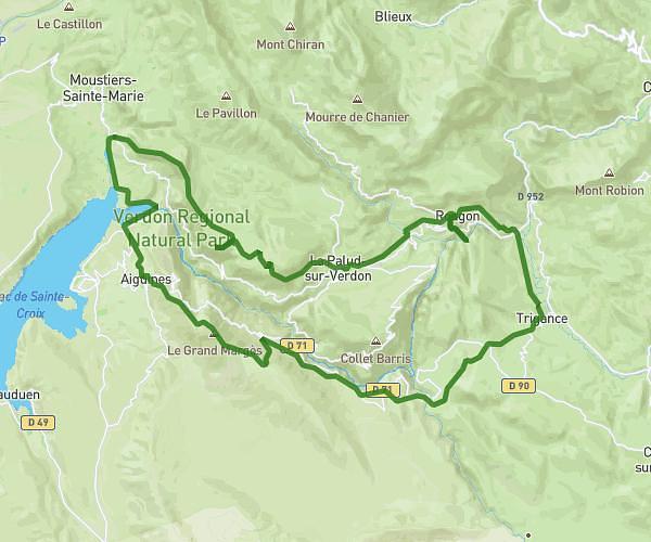
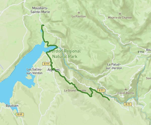
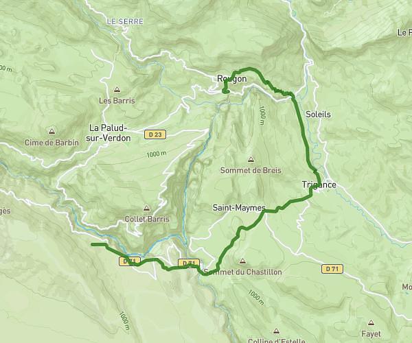
This hiking trail covers 5.444mi starting from Moustiers-Sainte-Marie, Alpes-de-Haute-Provence. The hike does not return to the trailhead and ends near Route De Moustiers, 04120 La Palud-sur-Verdon. This hike is rated as hard, plan for about 2h55m to complete it. The route has an elevation gain of 2884ft and an elevation loss of 607ft.
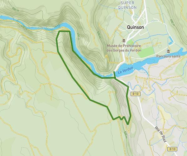
jour1 verdon
Route details
1.86mph
Speed
1432 kcal
Calories burned
12.1%
Avg grade
Point to point
Route type
1837ft
Min altitude
4114ft
Max altitude
Steep climb
Route profile
2884ft
Elevation gain
607ft
Elevation loss
1837ft
Min altitude
4114ft
Max altitude
How to get there
Trailhead: Route De Castellane, 04360 Moustiers-Sainte-Marie
GPS coordinates of the trailhead: 43.82765, 6.22753 / 43°49'39'' N, 6°13'39'' E