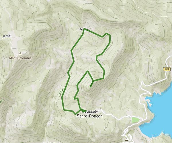
This hiking trail covers 7.865mi starting from La Fare-en-Champsaur, Hautes-Alpes. The hike is a loop trail and returns to the trailhead. This hike is rated as strenuous, plan for about 1h48m to complete it. The route has an elevation gain of 3825ft and an elevation loss of 3829ft.
corte folle - la fare en champsaur
Route details
4.37mph
Speed
872 kcal
Calories burned
18.4%
Avg grade
Loop trail
Route type
3953ft
Min altitude
6640ft
Max altitude
Steep climb
Route profile
3825ft
Elevation gain
3829ft
Elevation loss
3953ft
Min altitude
6640ft
Max altitude
How to get there
Trailhead: Chemin De Bois Vert, 05500 La Fare-en-Champsaur, France
GPS coordinates of the trailhead: 44.66681, 6.05544 / 44°40'0'' N, 6°3'19'' E