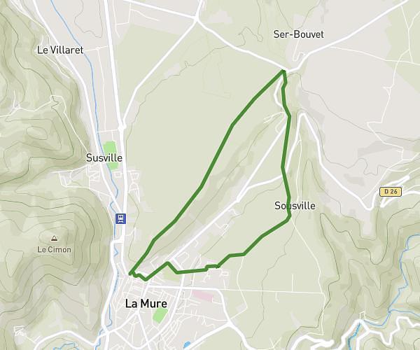
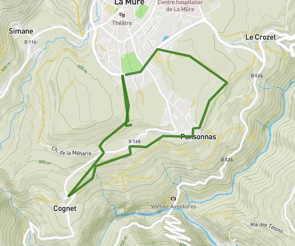
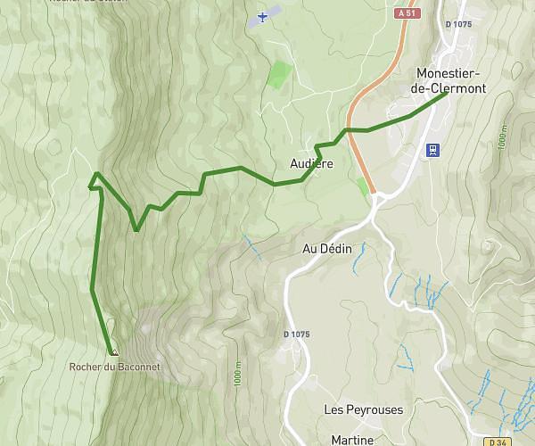
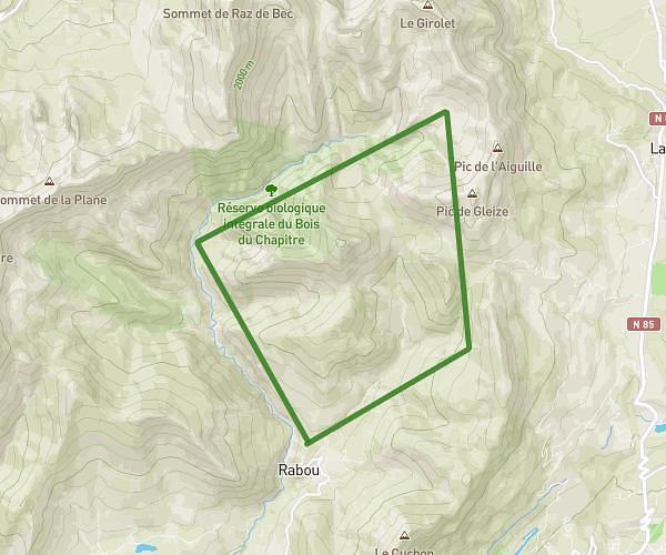
This hiking trail covers 9.209mi starting from Dévoluy, Hautes-Alpes. The hike does not return to the trailhead and ends near 296 Rue Du Grand Vent, 38970 Pellafol, France. This hike is rated as strenuous, plan for about 2h to complete it. The route has an elevation gain of 2487ft and an elevation loss of 4639ft.
GRP de l'obiou 4e étape
Route details
4.6mph
Speed
912 kcal
Calories burned
14.7%
Avg grade
Point to point
Route type
3035ft
Min altitude
5617ft
Max altitude
Steep climb
Route profile
2487ft
Elevation gain
4639ft
Elevation loss
3035ft
Min altitude
5617ft
Max altitude
How to get there
Trailhead: 05250, Dévoluy, Hautes-Alpes, France
GPS coordinates of the trailhead: 44.729281, 5.863834 / 44°43'45'' N, 5°51'49'' E