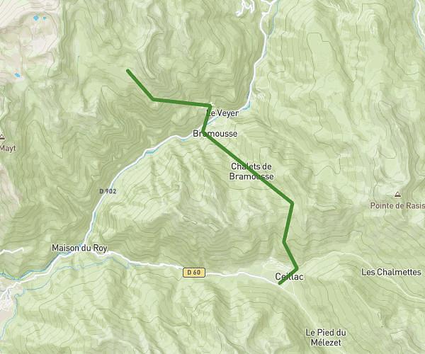
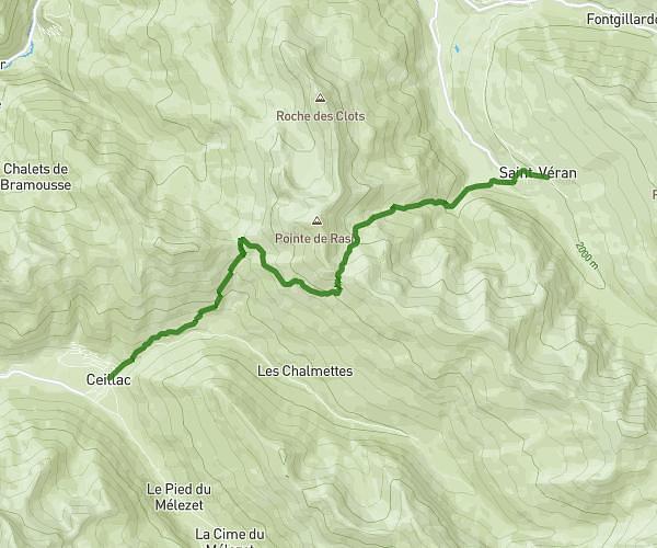
This hiking trail covers 11.124mi starting from Ceillac, Hautes-Alpes. The hike does not return to the trailhead and ends near 293 Rue De Beauregard, 05350 Saint-Véran, France. This hike is rated as strenuous, plan for about 2h6m to complete it. The route has an elevation gain of 4541ft and an elevation loss of 3392ft.
queyras juin j1
Route details
5.3mph
Speed
996 kcal
Calories burned
13.5%
Avg grade
Point to point
Route type
5364ft
Min altitude
7585ft
Max altitude
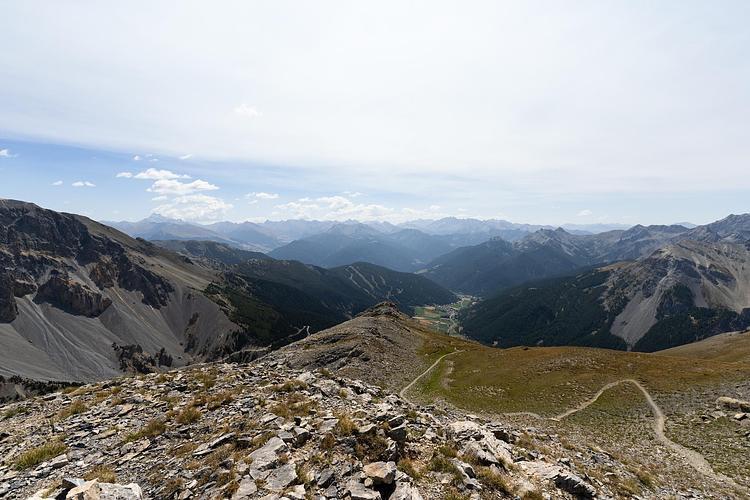
Steep climb
Route profile
4541ft
Elevation gain
3392ft
Elevation loss
5364ft
Min altitude
7585ft
Max altitude
How to get there
Trailhead: 209 Chemin De Laurette, 05600 Ceillac, France
GPS coordinates of the trailhead: 44.665289, 6.776029 / 44°39'55'' N, 6°46'33'' E