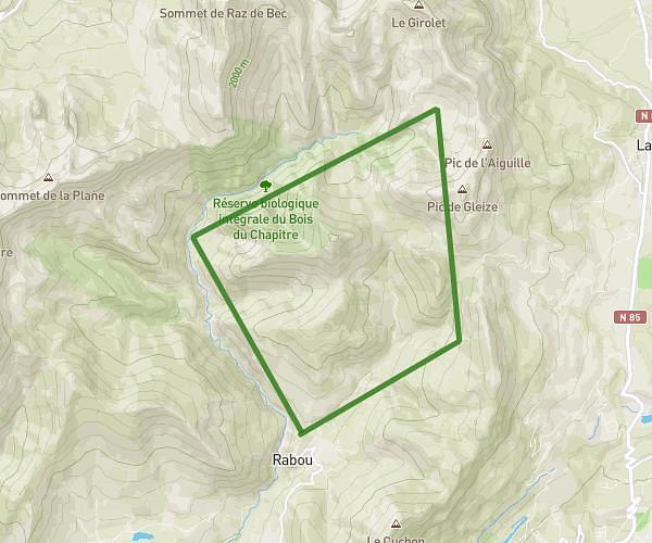
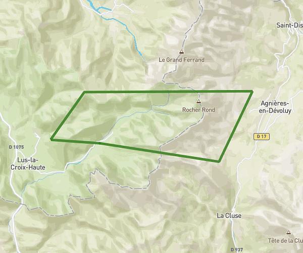
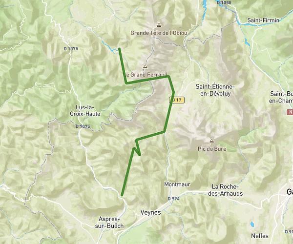
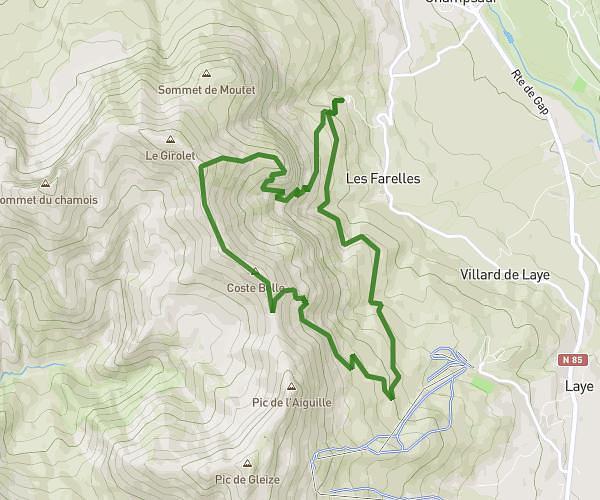
This hiking trail covers 43.768mi starting from Veynes, Hautes-Alpes. The hike is a loop trail and returns to the trailhead. This hike is rated as strenuous, plan for about 6h19m to complete it. The route has an elevation gain of 13514ft and an elevation loss of 13504ft.
trek en Buech 4 jours
Route details
6.93mph
Speed
2912 kcal
Calories burned
11.7%
Avg grade
Loop trail
Route type
2671ft
Min altitude
6043ft
Max altitude
Steep climb
Route profile
13514ft
Elevation gain
13504ft
Elevation loss
2671ft
Min altitude
6043ft
Max altitude
How to get there
Trailhead: 1 Rue Robespierre, 05400 Veynes, France
GPS coordinates of the trailhead: 44.532038, 5.821228 / 44°31'55'' N, 5°49'16'' E