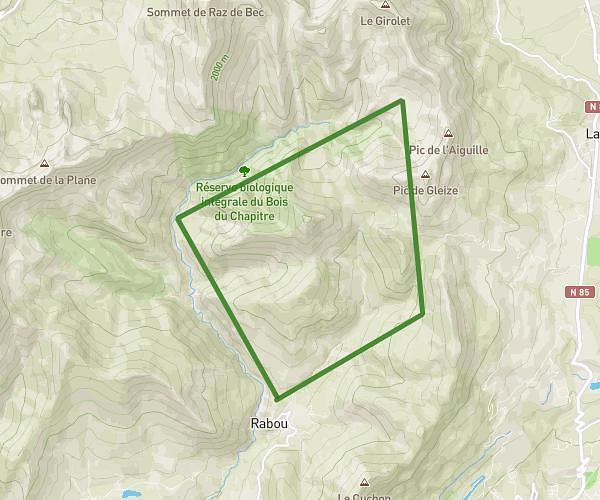
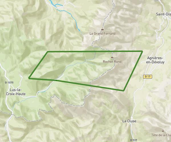
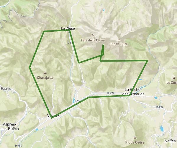
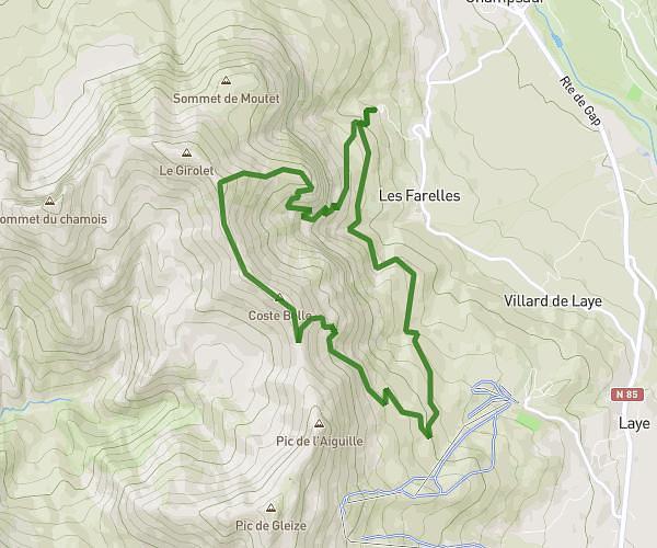
This hiking trail covers 29.396mi starting from La Faurie, Hautes-Alpes. The hike does not return to the trailhead and ends near 31 Place De La Mairie, 38710 Tréminis, France. This hike is rated as strenuous, plan for about 13h39m to complete it. The route has an elevation gain of 9623ft and an elevation loss of 9337ft.
buech / tremini
Route details
2.16mph
Speed
6325 kcal
Calories burned
12.2%
Avg grade
Point to point
Route type
2730ft
Min altitude
6890ft
Max altitude
Steep climb
Route profile
9623ft
Elevation gain
9337ft
Elevation loss
2730ft
Min altitude
6890ft
Max altitude
How to get there
Trailhead: D 1075, 05140 La Faurie, France
GPS coordinates of the trailhead: 44.556881, 5.772682 / 44°33'24'' N, 5°46'21'' E