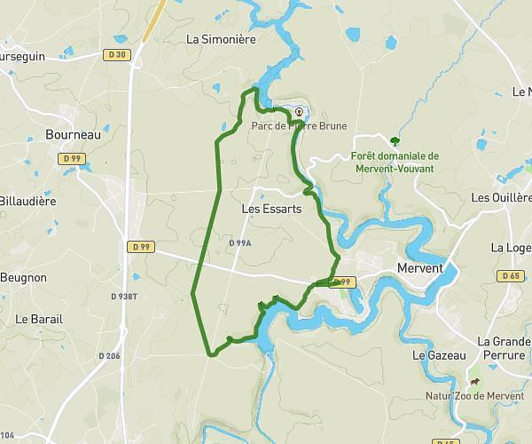
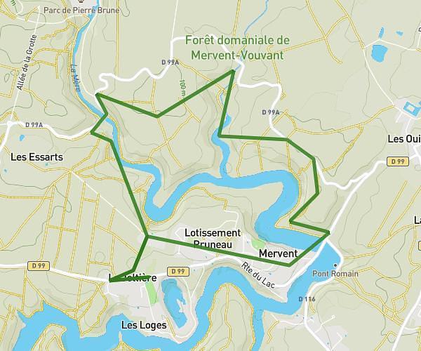
This hiking trail covers 4.104mi starting from Mervent, Vendée. The hike is a loop trail and returns to the trailhead. This hike is rated as easy, plan for about 1h34m to complete it. The route has an elevation gain of 561ft and an elevation loss of 561ft.
Canimarche
Route details
2.62mph
Speed
686 kcal
Calories burned
5.2%
Avg grade
Loop trail
Route type
131ft
Min altitude
358ft
Max altitude
Route profile
561ft
Elevation gain
561ft
Elevation loss
131ft
Min altitude
358ft
Max altitude
How to get there
Trailhead: D 99, 85200 Mervent, France
GPS coordinates of the trailhead: 46.521359, -0.768966 / 46°31'16'' N, 0°46'8'' W