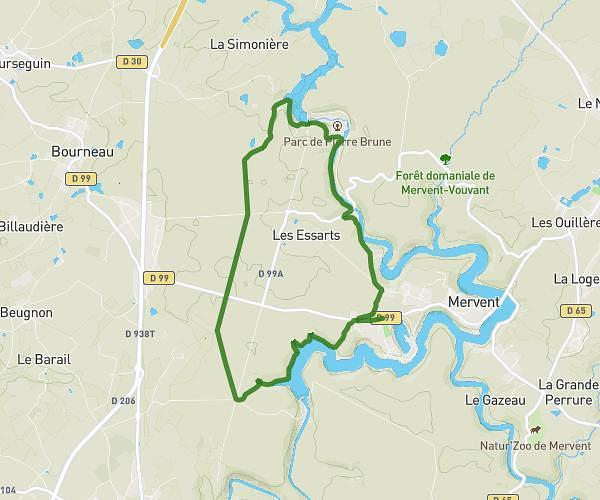
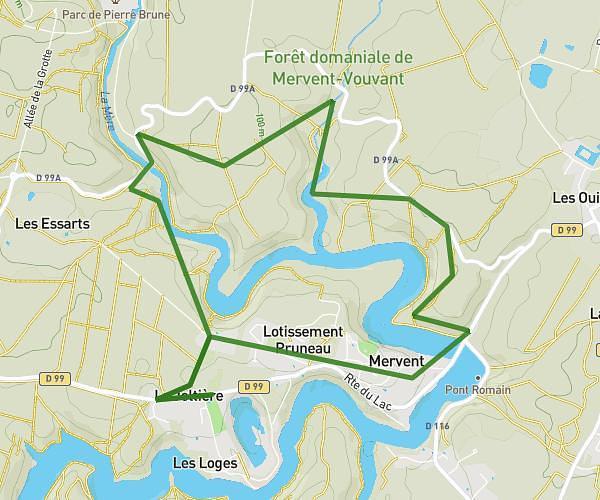
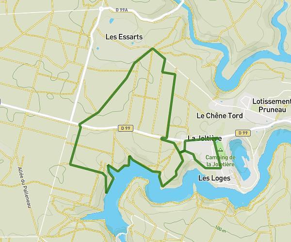
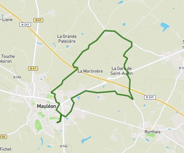
This hiking trail covers 6.131mi starting from Magné, Deux-Sèvres. The hike does not return to the trailhead and ends near Avenue Du Marais Poitevin, 79460 Magné. This hike is rated as easy, plan for about 2h28m to complete it. The route has an elevation gain of 148ft and an elevation loss of 154ft.
Rando CCR 2 (grand)
Route details
2.49mph
Speed
1044 kcal
Calories burned
0.9%
Avg grade
Point to point
Route type
7ft
Min altitude
52ft
Max altitude
Route profile
148ft
Elevation gain
154ft
Elevation loss
7ft
Min altitude
52ft
Max altitude
How to get there
Trailhead: Rue Du Grand Port, 79460 Magné
GPS coordinates of the trailhead: 46.31517, -0.54323 / 46°18'54'' N, 0°32'35'' W