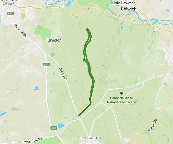
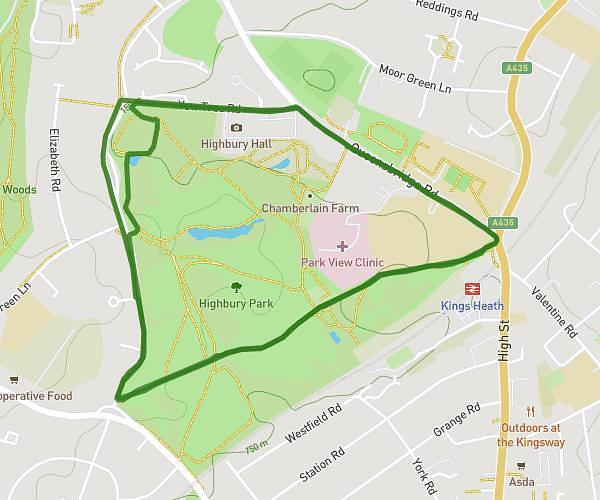
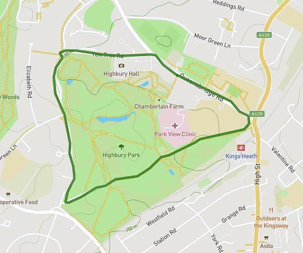
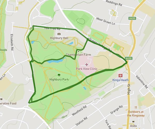
This walking route covers 2.195mi starting from Birmingham, England. The walk is a loop trail and returns to the trailhead. This walk is rated as easy, plan for about 56m38s to complete it. The route has an elevation gain of 171ft and an elevation loss of 144ft.
Birmingham Digbeth
Route details
25:49/mi
Pace
231 kcal
Calories burned
Loop trail
Route type
358ft
Min altitude
528ft
Max altitude
Route profile
171ft
Elevation gain
144ft
Elevation loss
358ft
Min altitude
528ft
Max altitude
How to get there
Trailhead: 55 Colmore Row, Birmingham, B3 2AA, United Kingdom
GPS coordinates of the trailhead: 52.48148, -1.89929 / 52°28'53'' N, 1°53'57'' W