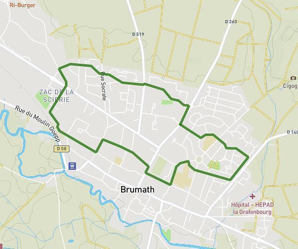
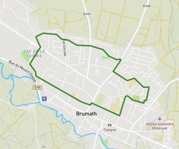
This running route covers 3.762mi starting from Drachenbronn-Birlenbach, Bas-Rhin. The run is a loop trail and returns to the trailhead. This run is rated as easy, expect about 36m to complete it. The route has an elevation gain of 118ft and an elevation loss of 203ft.
Parcours 6,5 km
Route details
6.27mph
Speed
412 kcal
Calories burned
Loop trail
Route type
564ft
Min altitude
764ft
Max altitude
Route profile
118ft
Elevation gain
203ft
Elevation loss
564ft
Min altitude
764ft
Max altitude
How to get there
Trailhead: Rue Louis Philippe Kamm, 67160 Drachenbronn-Birlenbach
GPS coordinates of the trailhead: 48.98489, 7.87178 / 48°59'5'' N, 7°52'18'' E