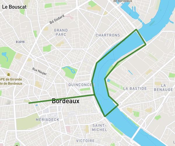
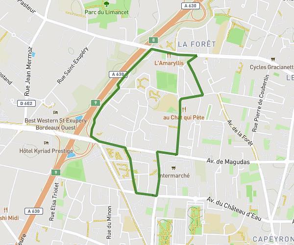
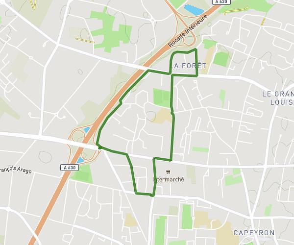
This running route covers 5.612mi starting from Quinsac, Gironde. The run is a loop trail and returns to the trailhead. This run is rated as moderate, expect about 1h to complete it. The route has an elevation gain of 39ft and an elevation loss of 75ft.
Dans la forêt
Route details
5.61mph
Speed
686 kcal
Calories burned
Loop trail
Route type
203ft
Min altitude
259ft
Max altitude
Route profile
39ft
Elevation gain
75ft
Elevation loss
203ft
Min altitude
259ft
Max altitude
How to get there
Trailhead: 40 Chemin Du Follet, 33360 Quinsac, France
GPS coordinates of the trailhead: 44.74931, -0.47745 / 44°44'57'' N, 0°28'38'' W