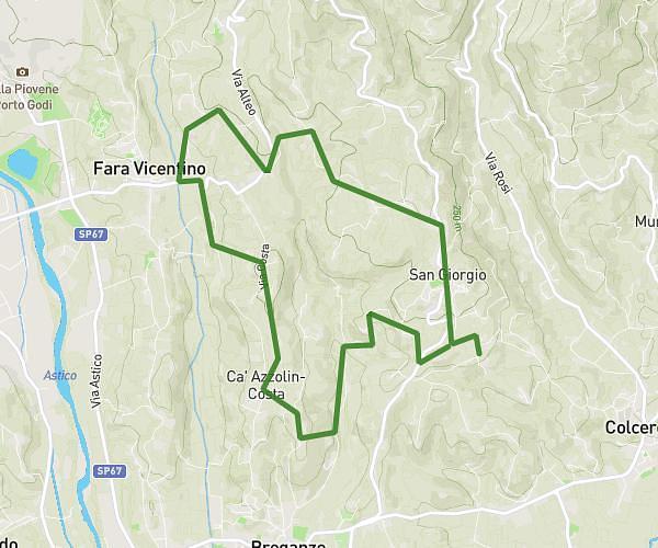
This running route covers 13.228mi starting from Thiene, Vicenza. The run is a loop trail and returns to the trailhead. This run is rated as strenuous, expect about 2h8m to complete it. The route has an elevation gain of 466ft and an elevation loss of 466ft.
Corsa thiene
Route details
6.2mph
Speed
1463 kcal
Calories burned
Loop trail
Route type
253ft
Min altitude
446ft
Max altitude
Route profile
466ft
Elevation gain
466ft
Elevation loss
253ft
Min altitude
446ft
Max altitude
How to get there
Trailhead: Via Val Cismon 29d, 36016 Thiene Vicenza, Italy
GPS coordinates of the trailhead: 45.70362, 11.4899 / 45°42'13'' N, 11°29'23'' E