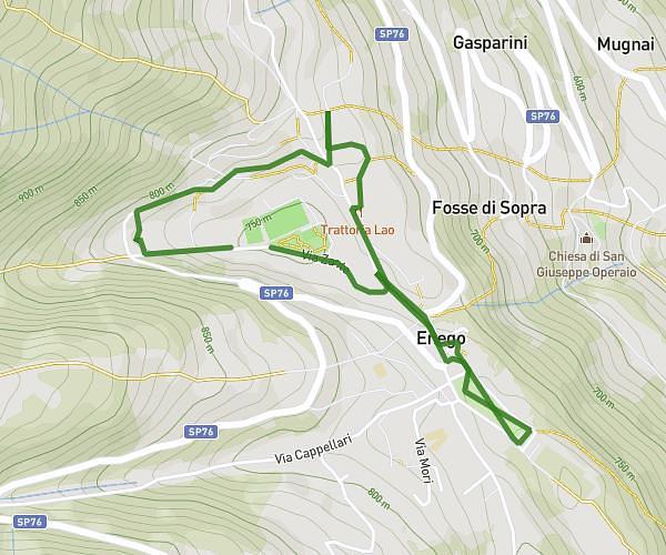
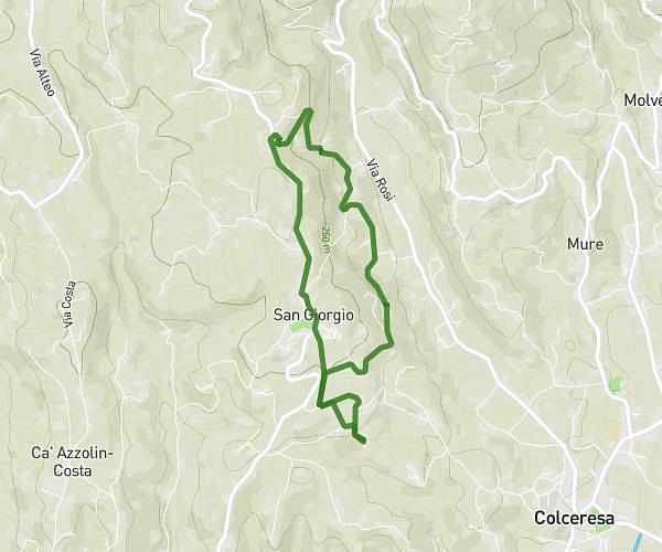
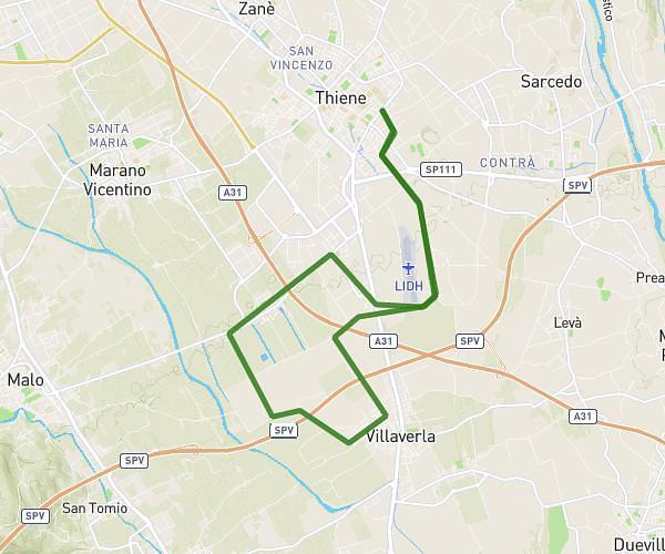
This running route covers 7.943mi starting from Colceresa, Vicenza. The run does not return to the trailhead and ends near Via Giovanni Ventitreesimo 18, 36030 Breganze Vicenza, Italy. This run is rated as hard, expect about 1h25m to complete it. The route has an elevation gain of 1230ft and an elevation loss of 1171ft.
Lungo 1
Route details
5.6mph
Speed
972 kcal
Calories burned
Point to point
Route type
436ft
Min altitude
981ft
Max altitude
Route profile
1230ft
Elevation gain
1171ft
Elevation loss
436ft
Min altitude
981ft
Max altitude
How to get there
Trailhead: Via San Pietro 8, 36042 Colceresa Vicenza, Italy
GPS coordinates of the trailhead: 45.72424, 11.58748 / 45°43'27'' N, 11°35'14'' E