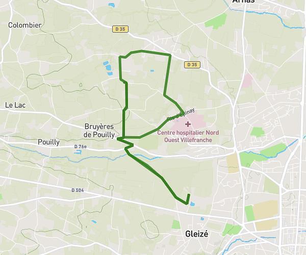
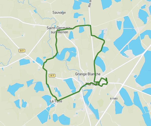
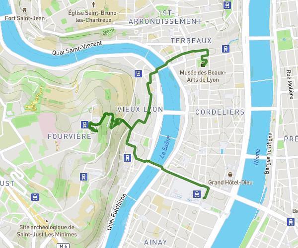
This hiking trail covers 8.013mi starting from Curis-au-Mont-d'Or, Rhône. The hike is a loop trail and returns to the trailhead. This hike is rated as hard, plan for about 3h11m to complete it. The route has an elevation gain of 1348ft and an elevation loss of 1352ft.
CURIS 1
Route details
2.52mph
Speed
1408 kcal
Calories burned
6.4%
Avg grade
Loop trail
Route type
699ft
Min altitude
1752ft
Max altitude
Route profile
1348ft
Elevation gain
1352ft
Elevation loss
699ft
Min altitude
1752ft
Max altitude
How to get there
Trailhead: 608 Chemin De La Morelle, 69250 Curis-au-Mont-d'Or, France
GPS coordinates of the trailhead: 45.87527, 4.82329 / 45°52'30'' N, 4°49'23'' E