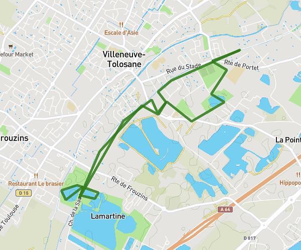
This running route covers 12.95mi starting from Merville, Haute-Garonne. The run is a loop trail and returns to the trailhead. This run is rated as strenuous, expect about 2h18m to complete it. The route has an elevation gain of 52ft and an elevation loss of 115ft.
Training trifecta sans la départementale (dangereux)
Route details
5.59mph
Speed
1588 kcal
Calories burned
Loop trail
Route type
446ft
Min altitude
561ft
Max altitude
Route profile
52ft
Elevation gain
115ft
Elevation loss
446ft
Min altitude
561ft
Max altitude
How to get there
Trailhead: Impasse De Laguillou, 31330 Merville
GPS coordinates of the trailhead: 43.71156, 1.31055 / 43°42'41'' N, 1°18'37'' E