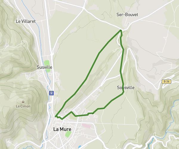
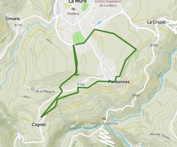
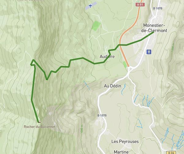
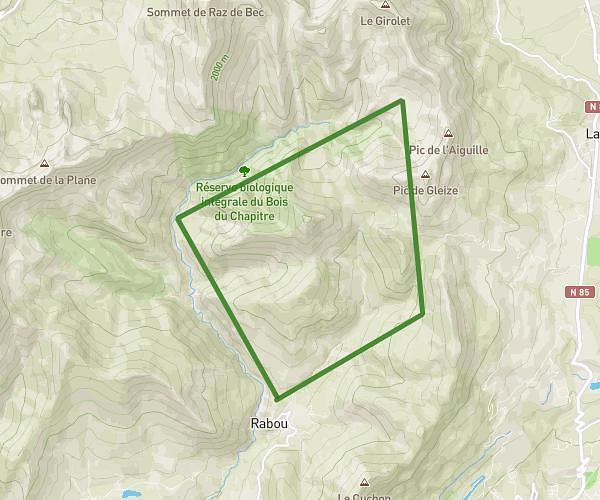
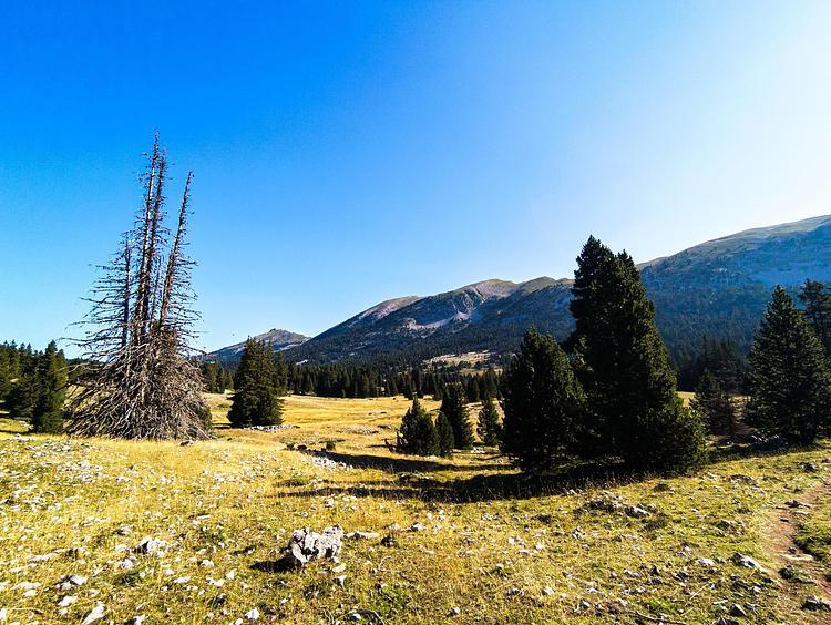
This hiking trail covers 16.504mi starting from Lus-la-Croix-Haute, Drôme. The hike is a loop trail and returns to the trailhead. This hike is rated as strenuous, plan for about 9h8m to complete it. The route has an elevation gain of 5518ft and an elevation loss of 5499ft.
Tour du devoluy
Route details
1.81mph
Speed
4241 kcal
Calories burned
12.6%
Avg grade
Loop trail
Route type
3783ft
Min altitude
6841ft
Max altitude
Steep climb
Route profile
5518ft
Elevation gain
5499ft
Elevation loss
3783ft
Min altitude
6841ft
Max altitude
How to get there
Trailhead: 90 Rue De La Chapelle, 26620 Lus-la-Croix-Haute, France
GPS coordinates of the trailhead: 44.67644, 5.75567 / 44°40'35'' N, 5°45'20'' E