This hiking trail covers 14.367mi starting from Orcières, Hautes-Alpes. The hike does not return to the trailhead and ends near 165 Draille Des Oucanes, 05160 Réallon, France. This hike is rated as strenuous, plan for about 5h to complete it. The route has an elevation gain of 4442ft and an elevation loss of 3960ft.
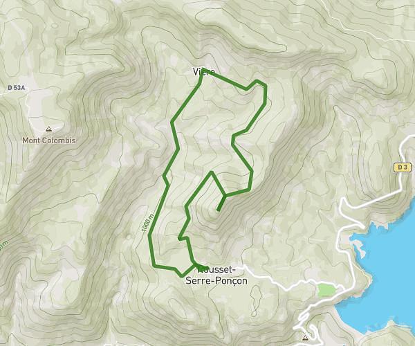
Orciere
Route details
2.87mph
Speed
2305 kcal
Calories burned
11.1%
Avg grade
Point to point
Route type
4459ft
Min altitude
7835ft
Max altitude
Steep climb
Route profile
4442ft
Elevation gain
3960ft
Elevation loss
4459ft
Min altitude
7835ft
Max altitude
How to get there
Trailhead: 118 Route De Prapic, 05170 Orcières, France
GPS coordinates of the trailhead: 44.68338, 6.32791 / 44°41'0'' N, 6°19'40'' E