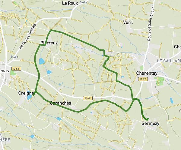
Explore this hiking route of 10.08km starting from Châtillon-sur-Chalaronne, Ain. The hike is a loop and returns to the starting point. This hike has no defined difficulty level, plan for about 2h31m to complete it. The route has a positive elevation gain of 117m and a negative elevation loss of 116m.
Boucle Châtillon sur Chalaronne
Route details
Route profile
117m
Elevation +
116m
Elevation -
224m
Min altitude
273m
Max altitude
How to get there
Route starting point: Rue Barrit, 01400 Châtillon-sur-Chalaronne
GPS coordinates of the starting point: 46.11901, 4.955 / 46°7'8'' N, 4°57'18'' E
Calculate the time to reach the starting point from your location or an address