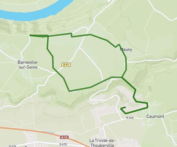
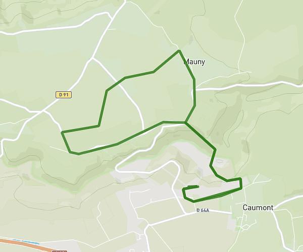
This running route covers 3.466mi starting from Rouen, Seine-Maritime. The run is a loop trail and returns to the trailhead. This run is rated as easy, expect about 24m58s to complete it. The route has an elevation gain of 72ft and an elevation loss of 82ft.
Course de nuit
Route details
8.33mph
Speed
285 kcal
Calories burned
Loop trail
Route type
7ft
Min altitude
89ft
Max altitude
Route profile
72ft
Elevation gain
82ft
Elevation loss
7ft
Min altitude
89ft
Max altitude
How to get there
Trailhead: 11 Place Maréchal Foch, 76000 Rouen, France
GPS coordinates of the trailhead: 49.44238, 1.09105 / 49°26'32'' N, 1°5'27'' E