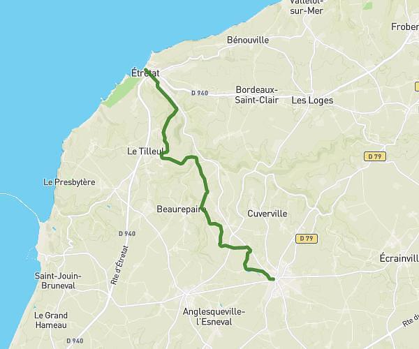
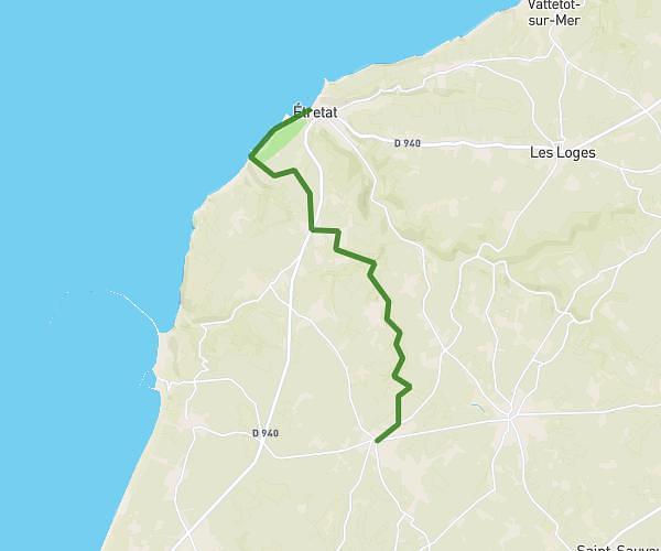
This hiking trail covers 7.156mi starting from Trouville, Seine-Maritime. The hike does not return to the trailhead and ends near 360 Route De Saint-Nicolas-De-La-Haie, 76490 Saint-Arnoult, France. This hike is rated as moderate, plan for about 1h26m to complete it. The route has an elevation gain of 420ft and an elevation loss of 653ft.
Rallye 2
Route details
4.98mph
Speed
615 kcal
Calories burned
2.8%
Avg grade
Point to point
Route type
240ft
Min altitude
522ft
Max altitude
Route profile
420ft
Elevation gain
653ft
Elevation loss
240ft
Min altitude
522ft
Max altitude
How to get there
Trailhead: 693 Route Des Colibeaux, 76210 Trouville, France
GPS coordinates of the trailhead: 49.58184, 0.607784 / 49°34'54'' N, 0°36'28'' E