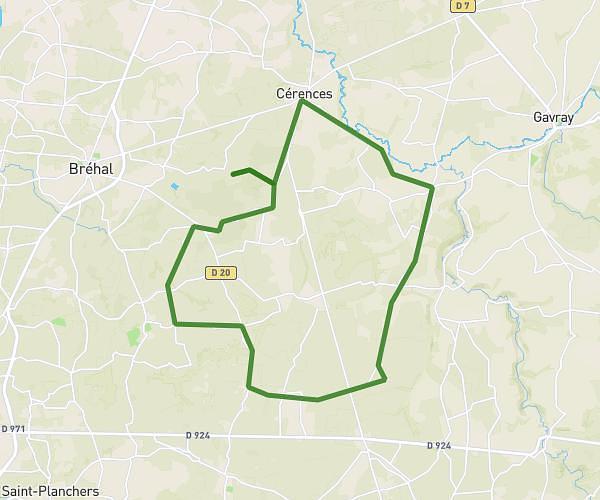
This cycling route covers 4.776mi starting from Agon-Coutainville, Manche. The ride is a loop trail and returns to the trailhead. This route is rated as easy, plan for about 29m to complete it. The route has an elevation gain of 131ft and an elevation loss of 161ft.
Tour depuis la maison Coutain
Route details
256 kcal
Calories burned
1.2%
Avg grade
Loop trail
Route type
23ft
Min altitude
151ft
Max altitude
Route profile
131ft
Elevation gain
161ft
Elevation loss
23ft
Min altitude
151ft
Max altitude
How to get there
Trailhead: 13 Rue Du Vieux Coutainville, 50230 Agon-Coutainville, France
GPS coordinates of the trailhead: 49.0537, -1.59019 / 49°3'13'' N, 1°35'24'' W