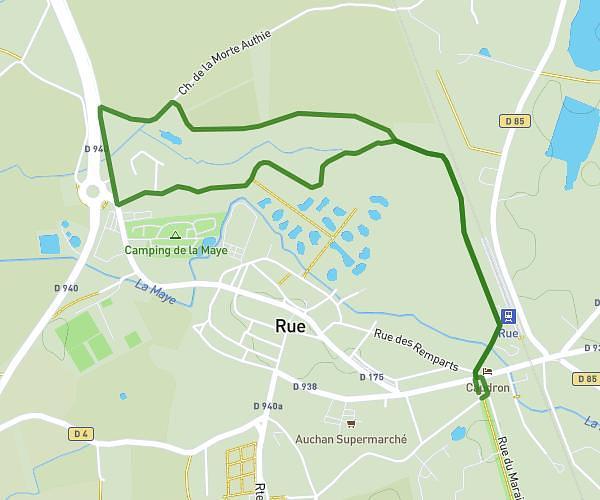
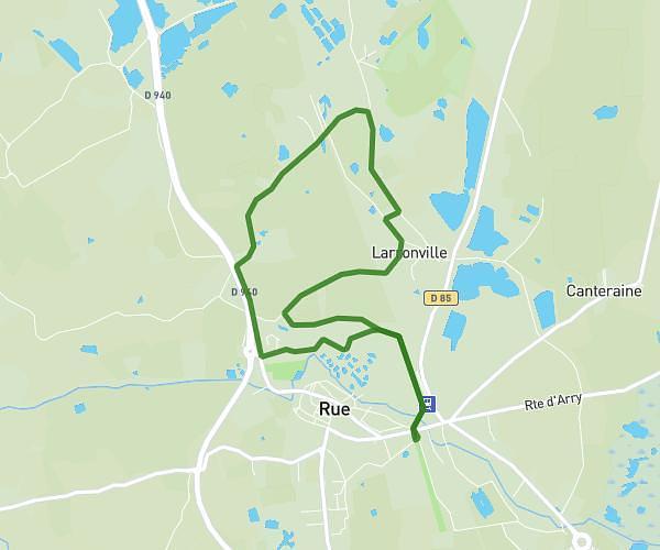
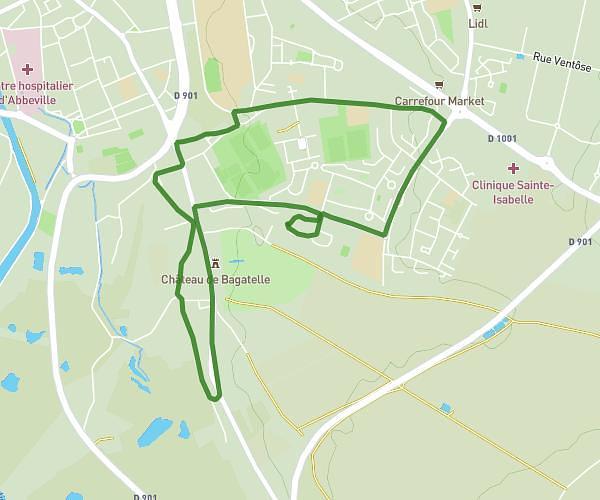
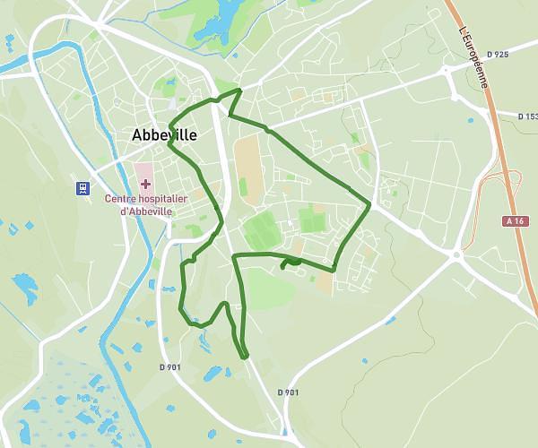
This hiking trail covers 5.341mi starting from Abbeville, Somme. The hike does not return to the trailhead and ends near 548 Rue Du Levant, 80132 Drucat, France. This hike is rated as easy, plan for about 1h44m to complete it. The route has an elevation gain of 308ft and an elevation loss of 299ft.
Drucat
Route details
3.08mph
Speed
741 kcal
Calories burned
2.2%
Avg grade
Point to point
Route type
33ft
Min altitude
98ft
Max altitude
Route profile
308ft
Elevation gain
299ft
Elevation loss
33ft
Min altitude
98ft
Max altitude
How to get there
Trailhead: 22 Rue D'auvergne, 80100 Abbeville, France
GPS coordinates of the trailhead: 50.09651, 1.84741 / 50°5'47'' N, 1°50'50'' E